Find the fields where panels and cropping can share the ground.
Agrisolar Siting reads crop type, parcel shape and yield history from satellite imagery each growing season, and gives you a candidate map to take into the landowner conversation.
It is early. We are shaping it with the first developers and co-ops who want to try it.
Read each season from medium-resolution multispectral satellite imagery, at a ground sample distance of 3–10 m.
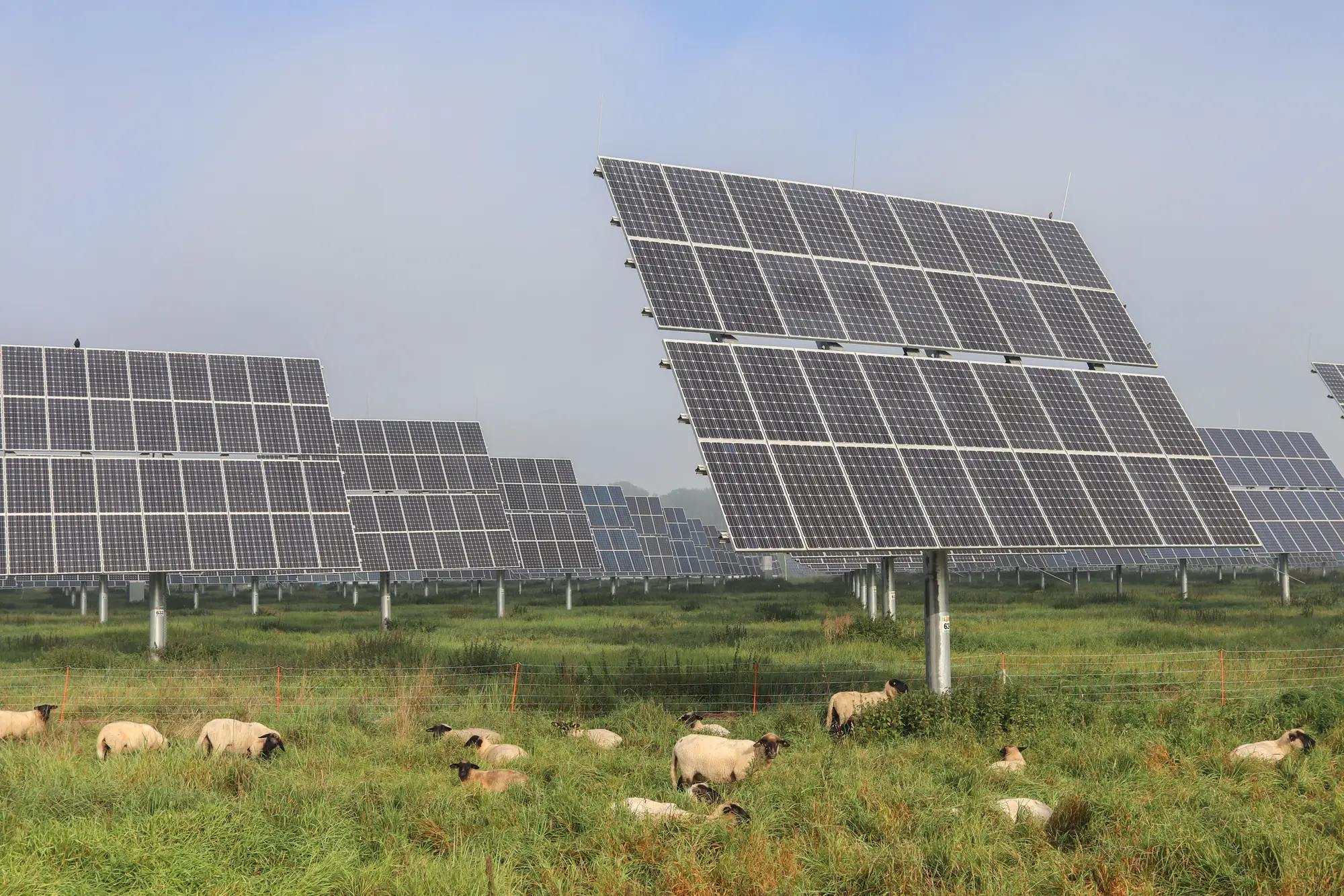
Two maps, one argument
The developer's business development lead has a county parcel layer, a line to the nearest substation and a spreadsheet of exclusions built for ground-mount arrays on open land. The co-op's partnerships officer has the other half: a member list, what each member had in the ground last season, and a good sense of whose fields have always yielded and whose haven't. Nobody has one picture with both.
So the first meeting is two people with two maps. The developer circles ground that looks easy to connect. The officer points out that much of it is a member's best cropland, and that member will not take a call about panels on it. Then the officer circles fields the developer's screen had marked down for an odd shape or an old drainage ditch, and the argument runs the other way. Every field gets settled from memory.
The cost shows up late. A landowner call goes badly because the field was the wrong one to ask about. Or a county hearing on the special use permit turns on why good farmland is being taken out of production, and nobody can say which fields in the project area were never really farmland worth protecting.
Crop type, parcel shape and yield history are all in the imagery already. They just never land on the same sheet before the first call.
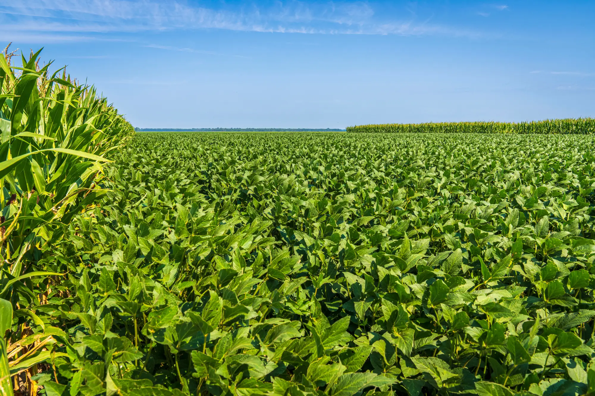
Agrisolar Siting reads those three things for the ground you name and hands both sides one candidate map.
What a screen hands you
You would be among the first to use it, so what follows is the intended pilot, not a finished product. The read is refreshed each growing season, imagery permitting.
2.1Candidate map
Parcel map
The parcels that read as suited to dual-use, drawn on parcel boundaries so the developer and the co-op look at the same lines. Each parcel carries the reasons it made the list, in plain words, so the argument is about the field rather than about whose map is right. It opens the conversation with the landowner. It does not replace it.
2.2Crop-type read
Attribute on every parcel
What is growing on each parcel this season, read from its multispectral signature. A co-op can lay it beside its own member records and see where the two agree.
2.3Yield-history note
Attribute on every parcel
The trend in the parcel's vegetation signal over the imagery record, where that record is deep enough to say anything. It is an estimate from the imagery. It is not read from farm records.
How it works
Name the ground
You send the member farmland list, a county, or a region boundary. If you are a developer, say whether the screen is for a specific project area or for origination across several counties.
Pick the season
We confirm the imagery for the growing season you care about, and whether the record is deep enough for a yield-history note on the parcels in question.
The read
Crop type, parcel geometry and the yield trend are read from medium-resolution multispectral imagery and combined into one score-free shortlist of candidate parcels.
The map comes back
A candidate map with the crop-type read and the yield-history note on each parcel. A person on the project team walks you through how to read it. After that it is yours to take to the landowner conversation.
Next season
The same ground is read again after the next growing season, so the shortlist moves with what is actually planted.
Where it fits
Before the first landowner call
A shortlist the developer and the co-op can both stand behind, so the first call goes to a field worth asking about.
Beside your own records
The co-op's member records and the developer's constraint layers stay yours. The candidate map sits next to them in your GIS and you decide which parcels survive.
For the permit file
When a county asks why this ground, the crop-type read and yield-history note are a documented reason to put in the siting section, alongside your own soils and constraint work.
Limits
These are the ways a satellite read of farmland can mislead you.
- L1
Suitable is not agreed
A candidate parcel means the imagery says it is worth a conversation. The owner or operator has agreed to nothing, and the read says nothing about a lease.
- L2
Not a yield promise
This is a siting screen. It does not forecast crop yield under panels or power output, for either side of the array.
- L3
Yield history is an estimate
The note comes from vegetation signal in the imagery over the years available. It is not read from farm records, and farm records will differ from it.
- L4
Small and irregular plots
At 3–10 m a pixel is a patch of ground several steps across. Field-scale parcels resolve. Very small plots, narrow strips and odd-shaped corners mix with their neighbors and may not read cleanly.
- L5
Crop type is a read
Mixed plantings, fields in transition and a crop that has not come up yet can be misread. The crop-type attribute marks the parcels where the signal was not clear.
- L6
Seasonal, imagery permitting
Cadence is a target. A cloudy stretch can push a read to the next usable pass, and a record shallower than hoped means no yield-history note on that parcel.
- L7
What the imagery can't see
Ownership, easements, zoning, soils class, slope and interconnection are not in the imagery. Those stay with your own constraint work.
Who it's for
For
- Business development and origination leads at solar developers who want to bring a farmland-compatible shortlist to landowners and the county.
- Partnerships officers at agricultural co-ops who are asked about solar leases by members and want to know which member fields could take a dual-use array.
- Teams happy to be early users of something still being shaped, and to tell us what the map should show.
Not for
- Interconnection or substation screening. That is a different dataset.
- Lease terms, title work or a signed arrangement with a landowner.
- Yield or energy-output forecasts for a project, or panel and row-spacing design.
- Verified farm-record yield histories.
- Very small plots, market gardens or other ground below what medium-resolution imagery resolves.
Questions before you ask for access
Does a candidate parcel mean the farmer agreed?
No. It is a suitability read from imagery. The landowner conversation is separate and starts after the map.
How is the yield history worked out?
From the vegetation signal in the imagery available for that parcel, year over year. It is not taken from farm records, and where the imagery record is thin there is no note.
How current is a seasonal read?
It is refreshed each growing season, imagery permitting. It is not a live view of what is planted this week.
Does it work on small or irregular fields?
Medium-resolution imagery works best on field-scale parcels. Very small plots may not resolve well, and the map marks parcels that read as unclear.
Does it tell us whether crops and panels will coexist?
No. It points to parcels where the crop, the shape and the history make the conversation worth having. How the array and the crop share the ground is a design question for your engineers and the grower.
Can we check it against our own records?
Yes, and we would like you to. A co-op can compare the crop-type read with its member records. Tell us where your ground truth is when the area is scoped and we will set the two side by side.
Who owns the map, and what happens to our member list?
Terms on the delivered map and on any list you send are written into the agreement before work starts. The public satellite archives the imagery comes from keep their own licenses.
How is it priced?
Early access is scoped on its own for each region: how much ground, how many seasons and which attributes. You get a written scope you can take through your own approvals.
Map your member farmland.
Tell us the region and the season and we will tell you what a screen would cover.
Request early access