The corner that never yielded
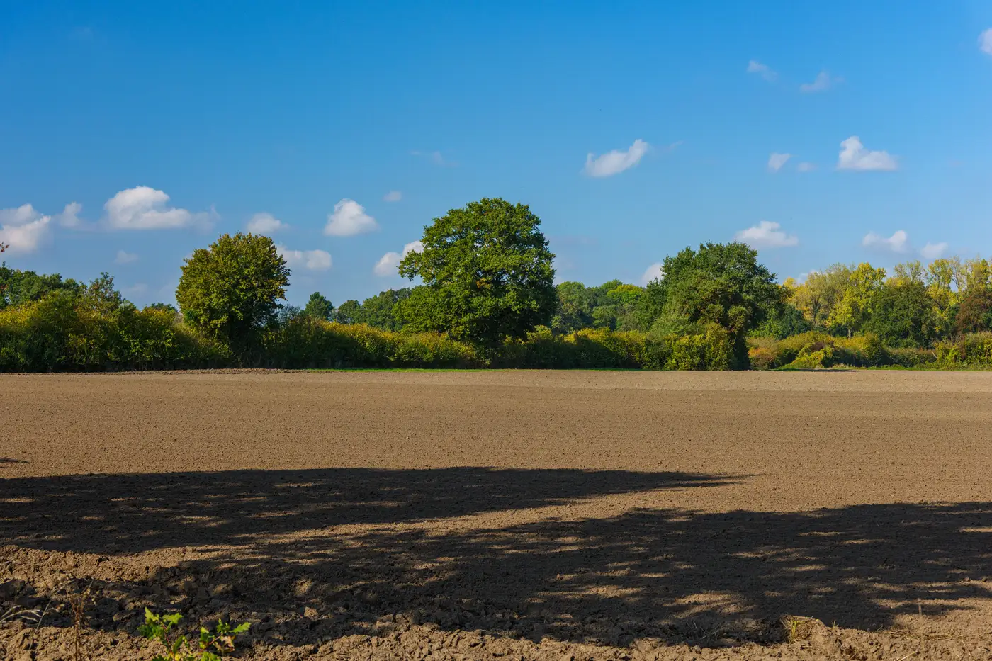
Every operation has one. A triangle where the pivot can't reach, a strip along the drainage ditch that drowns every wet spring, a shaded wedge under the tree line that's been "getting to it next year" since the Obama administration. Ask any farmer to walk their own ground and they'll point at it without hesitating. They know the yield map already. They've known it for a decade.
What's interesting is how differently that same corner reads depending on who's standing in it.
To the farmer, it's a nuisance that costs a few hundred dollars a year in wasted seed and diesel. To the co-op agronomist pulling yield history at renewal time, it's a rounding error, not worth restructuring a lease over. But to someone scouting ground for a dual-use solar array, that corner is close to the opposite of a problem. It's the one part of the parcel where putting steel and panels in the ground doesn't cost the operation anything it was already getting.
I started paying closer attention to this after sitting in on a lease conversation that went sideways in a predictable way. The developer had a parcel map with slope, setback, and interconnection distance marked up in three colors. The co-op's partnerships officer had a different map, really just years of combine yield data in her head, and she kept asking the same question every time the developer's map lit up a field: "You know that whole east third is spring-flooded clay, right?" He didn't. His map didn't have soil series on it, and his overlay for "available farmland" had been built off county parcel boundaries, not what actually comes out of that ground at harvest.
The disagreement was really about which fields were even in play, each side arguing from a map that had never talked to the other's.
A parcel map tells you where the property lines are. A yield map tells you what the land has produced, corner by corner, season after season. Neither one alone tells you where cropping and a dual-use array can share ground without one quietly crowding out the other. You need the geometry and the yield history stacked together, plus some sense of what's growing there this rotation, because a corner that's dead weight under soybeans might be a different conversation under a lower, less sun-hungry crop or shade-tolerant forage. The screening question is which specific acres on this parcel were never pulling their weight anyway, more than whether the whole parcel is flat enough.
Once you start looking at ground that way, you notice how often the unproductive corner and the structurally easy corner are the same piece of dirt. Compaction from equipment turning around. Partial shade from a windbreak. A grade change that made the planter skip rows. Those same conditions, the ones that make a corner a pain to farm, are often what keeps interconnection and racking costs down too. Marginal land tends to be marginal for a shortlist of recurring reasons, and most of them show up on both a soils map and a crew's complaint list.
What that lease conversation needed, and what most of these conversations need, is a starting point that already has the yield history and the parcel geometry stacked on top of each other, so both sides are looking at the same corner before anyone argues about it. That's the gap Agrisolar Siting's candidate parcel map is built to close, matching crop type and yield history against parcel shape so the low-producing acres surface on their own instead of getting negotiated over from two different starting maps.
If your own back pocket already has a corner like this, it's worth a season spent writing down exactly why it never yielded, the compaction, the shade, the grade change, since that's the same record a siting conversation runs on.
Worth a look if you've got ground like that sitting idle.