Grazing agrivoltaics vs row-crop agrivoltaics: how to tell them apart on a parcel screen
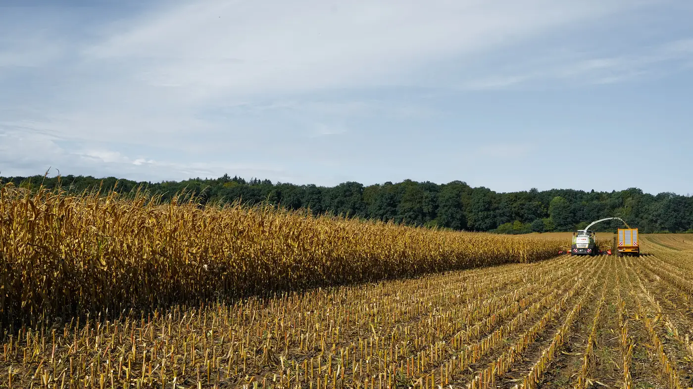
A parcel screen is supposed to save everyone a trip. It falls apart fast when the developer is picturing sheep under a fixed-tilt array and the co-op's board is picturing the same soybean rotation they've run for twenty years. Those are two different projects with two different racking heights, two different interconnection timelines, and two different answers to "will this work here."
What actually separates the two use cases
Grazing agrivoltaics and row-crop agrivoltaics aren't just stocking density versus plant spacing. They ask different things of the same ground.
Grazing works under tighter panel spacing and lower clearance because sheep don't need equipment aisles. A flock can run under a fixed-tilt array on marginal or rolling pasture that would never pencil for row crops in the first place. The limiting factor is usually forage, not the panels: does the understory grow enough to carry stock through a season, and is the parcel fenced or fenceable without fighting the array layout.
Row-crop agrivoltaics is the harder engineering problem and the harder farm-economics problem. It needs single-axis tracking or elevated fixed-tilt, wider row spacing to get a combine or sprayer through, and a crop that tolerates partial shading on the schedule the array casts it. Corn and soy don't take well to it. Specialty crops and some forage crops do better. The parcel's existing rotation history matters here in a way it doesn't for grazing, because you're asking a working row-crop field to keep producing at a reduced but still commercial yield, not converting it to pasture.
That difference shows up before anyone talks to the landowner. It shows up in what's already growing out there.
Reading it off a parcel screen
Crop type is the first filter, and it's also where early-stage screens get sloppy. A field coded "pasture/hay" in a tax parcel database could be rotational pasture one lease away from row crops, or permanent pasture that's never seen a plow. Multispectral imagery across a growing season tells those apart faster than a phone call to the assessor's office: permanent pasture reads as a stable vegetation signature year over year, where a row-crop field shows the sharp green-up and senescence curve of a planted crop with bare soil in between.
Parcel geometry is the second filter, and it matters more for row-crop sites than grazing ones. A grazing site can tolerate an odd-shaped field, a pond, a fence line cutting across it. Equipment access doesn't care much about parcel shape. A row-crop site needs long, regular runs for the combine, which means an irregular or heavily subdivided parcel that would barely register as a problem for grazing can knock a row-crop candidate out before it's worth a site visit.
Yield history is the tiebreaker on row-crop candidates specifically. A field with a consistent multi-year yield has more to lose from partial shading, and that's the conversation the co-op's partnerships officer needs to walk into with numbers, not a hunch. Grazing candidates don't carry that same yield-history weight, because the screen there is closer to "is there forage" than "will yield hold."
Why this matters before the first site visit
A developer who shows up proposing sheep grazing on a parcel the co-op has been running in a corn-soybean rotation for a decade is going to get a short meeting. The reverse happens too: a row-crop tracking proposal pitched to a landowner running marginal hill pasture, where the real opportunity was always grazing. Sorting candidate parcels by crop type and field geometry before that first call means the conversation starts on the right use case instead of backtracking from the wrong one.
That sorting is exactly what a seasonal candidate parcel map is for, built from crop type, parcel geometry, and yield history together rather than any one of them in isolation. Agrisolar Siting puts that screen together from satellite imagery so the developer and the co-op are arguing from the same map, if they're arguing at all.
If your next conversation is about which fields actually fit grazing or row-crop agrivoltaics, that candidate parcel map is where to start.