How many years of yield data before a parcel pencils for agrivoltaics?
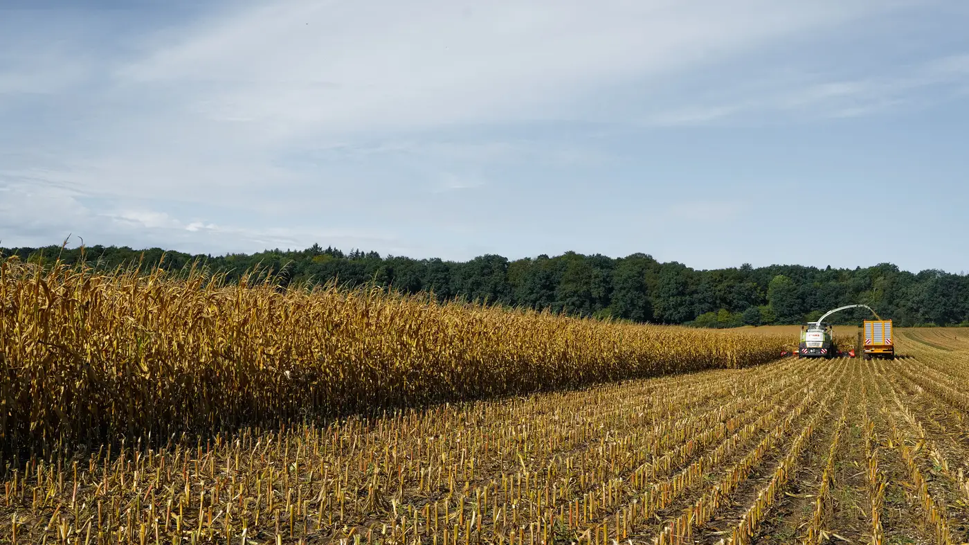
A developer pulls up three years of yield monitor data on a parcel and calls it done. The co-op's agronomist looks at the same three years and sees a drought year, a replant year, and one normal year: three data points that don't add up to a baseline. Both sides are working from the same file and reaching opposite conclusions. This is the argument that stalls most agrivoltaics conversations before the lease ever gets drafted.
What counts as enough history
For row crops, most agronomists want at least five seasons before they'll say a yield pattern is the field talking and not the weather talking. Three years can work if you got lucky and one of them was a genuinely bad year, drought, excess rain, a pest outbreak, something that stress-tests the soil. Three years of average-to-good conditions tells you almost nothing about how that parcel behaves when it matters.
The reason length matters more for agrivoltaics than for a straight land purchase is the comparison you're trying to make. You're not asking "is this good farmland." You're asking "how much yield would this specific acreage give up under racking, and is that number small enough that the lease payment covers it." That's a narrower question, and a shorter record gives you a noisier answer to it.
Parcel geometry makes the variability problem worse. A field with a wet corner, a hilltop that burns off early, or a strip along a fence line that's shaded half the day already has yield that swings by zone within a single season. Pull one average number for the whole parcel and you've buried the exact spatial detail you need to figure out where panels could sit without touching the better-producing ground.
When a short record is a yellow flag
A newly acquired parcel, a field that changed hands recently, or ground coming out of CRP often won't have five clean years behind it. The parcel can still work for dual use, but the yield history alone can't carry the siting decision on its own. You need something else to cross-check it against: crop type patterns, soil survey data, or a season-by-season look at how the field greened up and stressed relative to its neighbors.
This is also where co-ops and developers tend to talk past each other. The developer wants a number to put in a model. The co-op wants assurance that the row crop side of the operation isn't getting shorted. Neither side is wrong, but a flat multi-year average resolves the argument for nobody. What settles the conversation is seeing yield variability mapped against the parcel's own boundaries and crop history, season by season, so both sides can point at the same picture and agree on which acres are the marginal ones worth converting and which aren't.
That's the gap Agrisolar Siting is built to close. Our candidate parcel maps pull crop type, parcel geometry, and seasonal yield pattern into one view so a developer and a co-op partner are arguing from the same field, not two different spreadsheets.
A rough rule of thumb
If you've got five or more seasons with at least one stress year in the mix, trust the pattern. If you've got three clean years with no stress year, treat the number as a starting point and look for another way to see how that ground behaves under pressure before anyone signs anything. And if the parcel is too new to have a record at all, don't force a yield-history answer to a question that needs a different kind of evidence.
Curious what a seasonal candidate parcel map looks like for ground you're already scouting? Get in touch with Agrisolar Siting.