Parcel records vs. satellite field boundaries: a pre-shortlist check
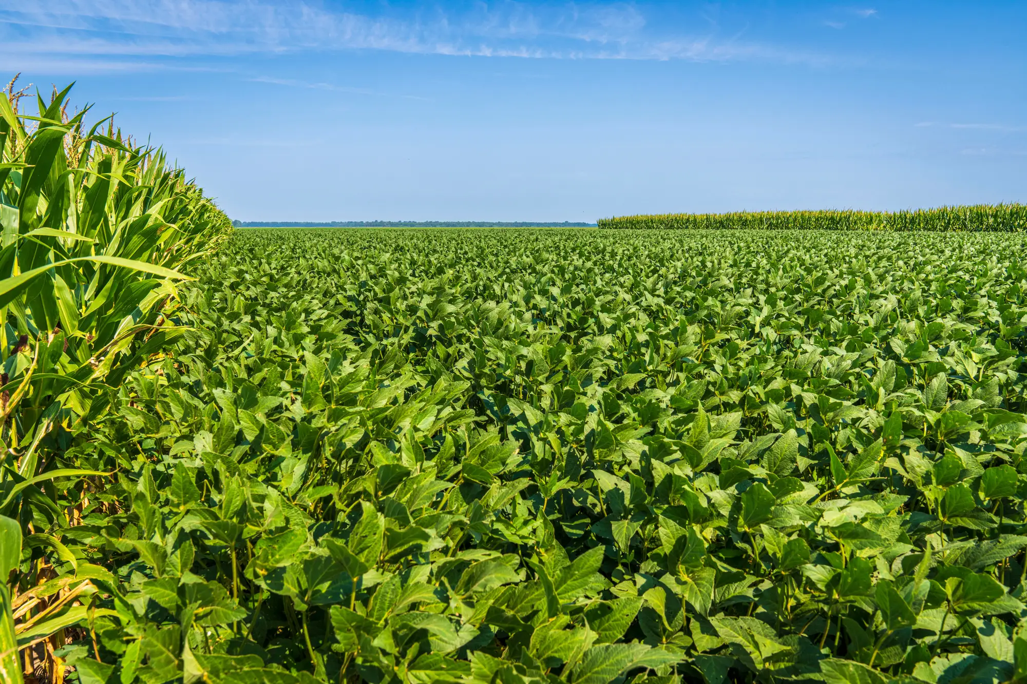
A parcel number on the assessor's site tells you who owns the ground and roughly how big it is. It does not tell you where the pivot actually ends, where the fencerow cuts the corner off, or whether the back forty has been in soybeans or sitting in CRP since 2019. Developers who skip the reconciliation step find that out at the lease table, usually from the farmer, usually after the landman has already quoted an acreage figure that's wrong.
County parcel fabric comes from deed surveys, some of them decades old, redrawn along section lines and right-of-way easements that have nothing to do with how the land is farmed today. A quarter section might show as 160 acres on the GIS layer while the cropped area inside it runs closer to 140, once you subtract the drainage ditch, the grain bin pad, and a grass waterway that's been there since the last terracing pass. None of that shows up in the recorded boundary. All of it shows up in a current field image.
Where the parcel line and the field edge stop agreeing
The mismatch tends to show up in a handful of predictable spots:
Field edges move. A parcel surveyed in 1987 doesn't account for a terrace reshaped in 2015 or a pivot corner that's been seeded to grass because the irrigation never reached it.
Easements eat acreage. Pipeline and transmission corridors often run through the middle of a recorded parcel without showing up as a separate line item, which means the farmable acreage on paper and the cropped footprint on the ground can differ by a meaningful chunk, exactly the kind of gap that matters when you're sizing how much ground an array can share with row crops.
Ownership and operation split. The name on the deed and the name on the lease aren't always the same person, and a shared edge between two parcels can be farmed as one field under a single operator, which changes how a candidate site gets carved up for racking.
Crop history doesn't travel with the parcel record. The assessor's office knows the land is zoned agricultural. It doesn't know if that field has carried corn on corn for a decade, or rotated into something lower-growing that's easier to site racking over.
A reconciliation pass, not a redo of the title search
This is a sanity check you run before you spend diligence dollars on parcels that look good on paper and turn out to be split by a pipeline easement or half-planted in trees. The title work and the survey still happen. This step just catches the parcels not worth sending to the title company in the first place.
The practical version of this: pull the county GIS parcel layer, overlay it against a recent field boundary drawn from multispectral imagery, and look at where the two disagree. A clean match, recorded line and cropped edge close together, is a good sign the parcel is farmed as drawn. A parcel where the cropped footprint is noticeably smaller than the recorded acreage is worth a phone call before it goes on the shortlist, not after.
Doing this parcel by parcel across a county is slow, and it's the kind of reconciliation that's easy to get wrong by eye on a desktop map. Agrisolar Siting builds a candidate parcel map each season by lining crop type, parcel geometry, and yield history up against each other, so a developer and a co-op partner are looking at the same field edges instead of arguing from two different maps. You can see how that comes together on the Agrisolar Siting homepage.
If you're staring down a county's worth of parcels and need a faster way to see which ones hold up once the field boundary gets checked against the record, that's the gap this is built to close.