Land equivalent ratio explained: what LER measures in agrivoltaics
If you've sat through a few agrivoltaics pitches, you've heard someone drop "LER" like everyone in the room already knows what it means. Half the time they don't, and the other half they're using it to paper over a weaker argument about which fields work for dual-use.
Land equivalent ratio is a real metric with a specific job. It's worth knowing cold, and worth knowing where it stops being useful.
What LER actually measures
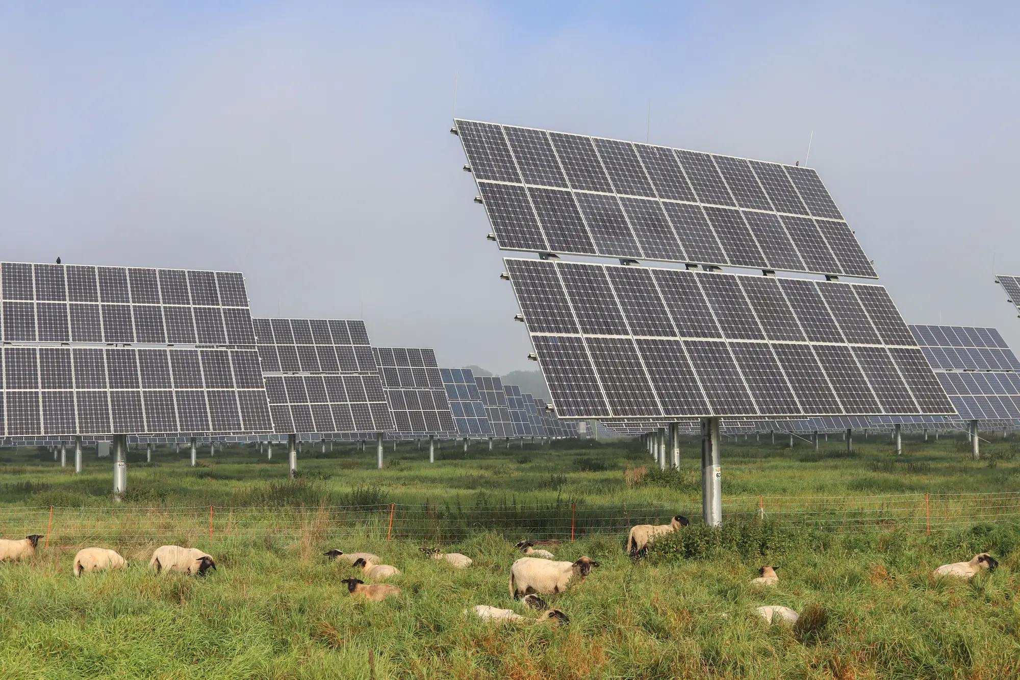
Land equivalent ratio compares two things: the land you'd need if you grew the crop and generated the power on separate parcels, versus the land you need when you do both on the same parcel under a dual-use array.
The math is simple. You take the crop yield under the panels and divide it by what that same crop yields in the open field nearby. Then you take the energy output of the shared-use array and divide it by what a standard ground-mount array on dedicated land would produce. Add the two ratios together and you get LER.
An LER of 1.0 means there's no advantage either way: splitting the land would get you the same combined output. Above 1.0, the dual-use parcel is out-producing two separate parcels doing the same total work. Below 1.0, you'd have been better off keeping the uses apart.
That's the whole concept. Published research across a range of crops, mostly shade-tolerant ones like lettuce, forage grasses, and some berry crops, has generally reported combined LER values above 1.0, which is the number agrivoltaics advocates lean on. Shade-sensitive row crops tend to tell a different story, and that's exactly why LER isn't a universal yes.
Why LER isn't a siting answer by itself
Here's the part that gets glossed over in pitch decks: LER is a performance metric for a system that's already built. It tells you how a specific crop, under a specific panel geometry, with a specific row spacing and tilt angle, performed against a baseline. It doesn't tell you which of your parcels are worth building that system on in the first place.
Two fields can grow the same crop and produce wildly different LER outcomes depending on soil moisture retention, slope, existing yield variability, and how the panel rows get oriented relative to the sun path. A co-op member with a strong yield history on alfalfa isn't automatically a good dual-use candidate just because someone cites a favorable alfalfa LER from a study done somewhere else, on different soil, with different panel spacing.
This is the gap that turns into an argument. The developer shows up with a generic LER figure to justify the project. The co-op partner points at their own yield records and says the field in question doesn't behave like the study field. Both sides are right, and neither map is settled.
Where to use LER, and where to stop
Use LER after you've picked a parcel, to set expectations with the landowner and to build the case for financing or incentive programs that ask for it. Don't use it to pick the parcel. That decision runs on the field's own crop history, its geometry, and how a panel layout would sit across it, not on a ratio borrowed from a published trial elsewhere.
If the siting conversation keeps circling back to "whose LER number is right," the problem is usually that nobody's looking at the same parcel data. Agrisolar Siting pulls crop type, parcel geometry, and yield history into one candidate parcel map, delivered each season from satellite imagery, so the developer and the co-op start the LER conversation from the same field, not two different spreadsheets. You can see how it works at agrisolarsiting.com.
Once you've got agreement on which parcels are even worth modeling, run your LER numbers on those. It'll save a few meetings.