What counts as prime farmland under USDA land capability classification
A county planning staffer pulls up the Web Soil Survey during a conditional use hearing, points at a parcel, and says "that's prime farmland, you can't put panels there." Half the room nods. The other half isn't sure that's even the right question. It usually isn't, and the mix-up costs projects months.
The eight classes, and what they measure
USDA's Land Capability Classification sorts soil into eight classes, I through VIII, based on how much a parcel can produce without erosion, flooding, or drainage problems taking over. Class I soils have almost no limitations. Class VIII is the other end: steep, rocky, or wet ground that shouldn't be farmed at all. The scale runs purely on soil behavior under cultivation: erosion risk, workability, drainage, moisture holding capacity. Crop value, current land use, and whether an array would shade the field don't factor into the class at all.
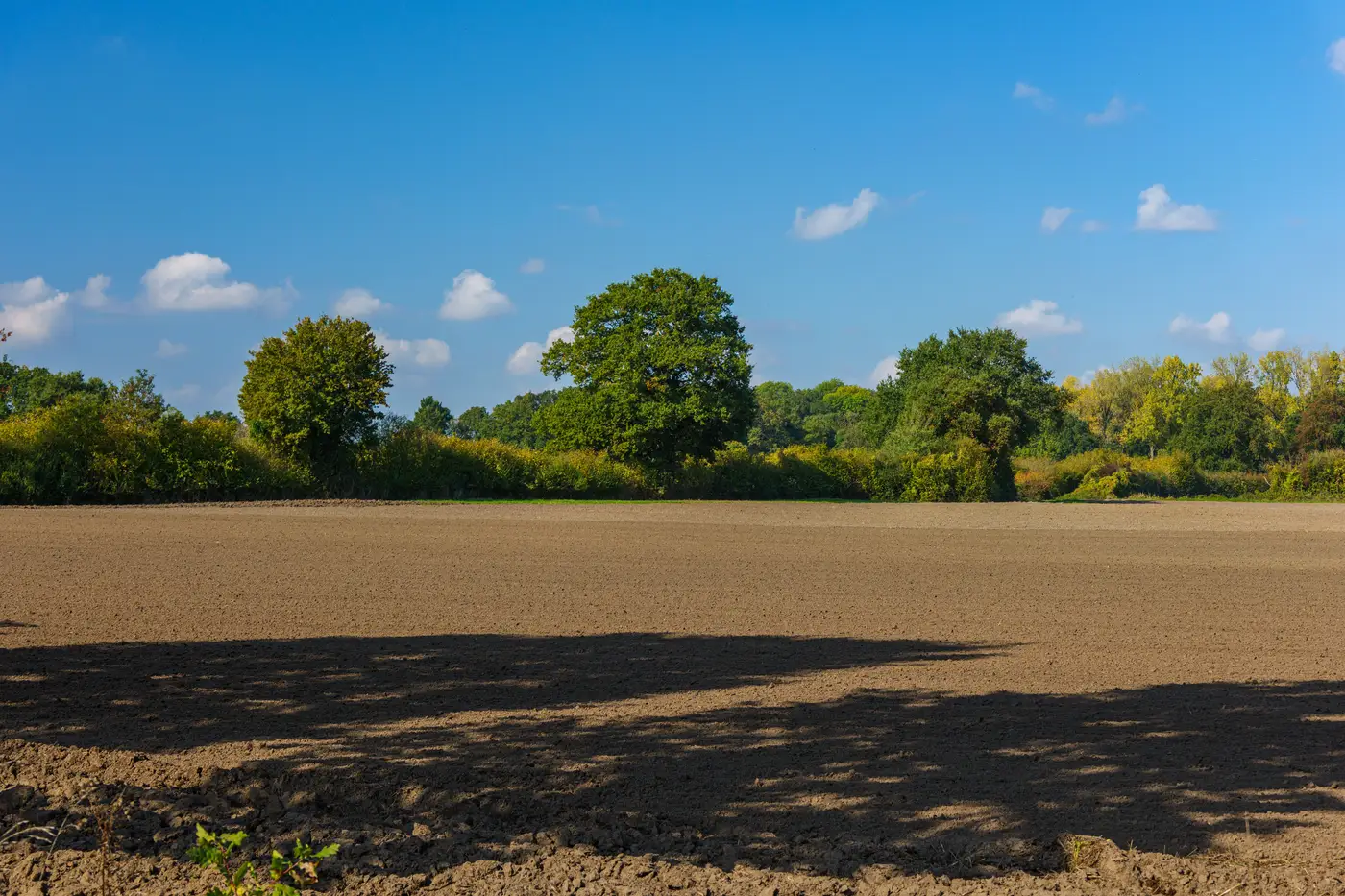
"Prime farmland" is a narrower label NRCS applies to land that meets specific thresholds for moisture supply, pH, permeability, and slope, generally landing in Classes I and II, with some Class III soils qualifying if they've been drained or otherwise corrected. A parcel can carry the prime designation and still sit fallow, be leased for hay, or have gone unplanted for three seasons. The label tracks soil capability, not what the farmer or the lease does with it.
This distinction matters because the two get flattened into one sentence at planning meetings: "it's prime, so it's off the table." That's a policy choice some counties have made on purpose. It isn't a fact about the soil itself.
Where the exclusion comes from
A growing number of counties and a handful of states have written prime farmland exclusions directly into their solar ordinances, capping the acreage of Class I and II soil a utility-scale project can cover, or requiring a conditional use permit above some threshold. Some carve out agrivoltaic projects specifically, since the panels aren't replacing the crop, they're sharing the row with it. Others don't distinguish at all, and a dual-use proposal gets measured against the same acreage cap as a fixed-tilt ground mount that takes the field out of production entirely.
The practical effect is that the LCC designation on a parcel can decide whether a developer needs a routine permit or a multi-month variance process, before anyone has looked at whether the crop and the array geometry would work together. A BD lead chasing a lease should know the class of every parcel in the draw area before the first site visit, not after the ordinance search turns up a cap that rules half the acreage out.
Where this fits into a siting screen
Soil class on its own doesn't tell you row spacing, doesn't tell you which crop tolerates partial shade at that latitude, and doesn't tell you whether the parcel geometry supports the panel orientation a given crop needs. It's one filter among several, and it needs to get checked against the same parcel before either side sinks time into a lease conversation that a zoning map kills on page one.
That's the gap Agrisolar Siting is built around: pulling crop type, parcel boundaries, and yield history together so a developer and a co-op are looking at the same candidate map, with soil capability as one layer instead of the first and only filter. A parcel that's Class II but hasn't held a consistent crop stand in years reads differently than one that's Class II and producing a strong yield every season, and that difference is exactly the kind of thing an exclusion ordinance written around soil class alone can't see.
If you're screening parcels against a county's prime farmland rules and want the crop and yield picture sitting next to the soil class instead of in a separate binder, that's the problem Agrisolar Siting is built to solve.